Current Path: Home / Travel / USA / NW / NW201706ColumbiaRV
US NorthWest 2017 Travel (6) - Columbia River Valley
Changde Wu 2017-11-22
US NorthWest 2017 Travel (5)- Columbia River Valley
Columbia River is the largest river in the northwestern US. It originates from Canadian Rockys, passes through the North-South treading valleys,
then turns west abruptly, cuts through the Cascade Range, ends in Pacific ocean. Ccolumbia river gorge national scenic area is a long corridor traversing the Cascade Range,
130 km long and as deep as 1200 m. It is aslo the valley with lowest elevation in Cascade Range.
We stayed 2 nights atCascade Locks, quickly toured Mt. Hood,c Bonneville Dam, and the Beacon Rock in Washington side. Of course, we visited many water falls.
The most memoriable wa the orchards on the road side around Hood river. It seemed that the riping cherry inviting us for a taste.
We wish we could have found the ower and paid them for the picking cherry to eat.
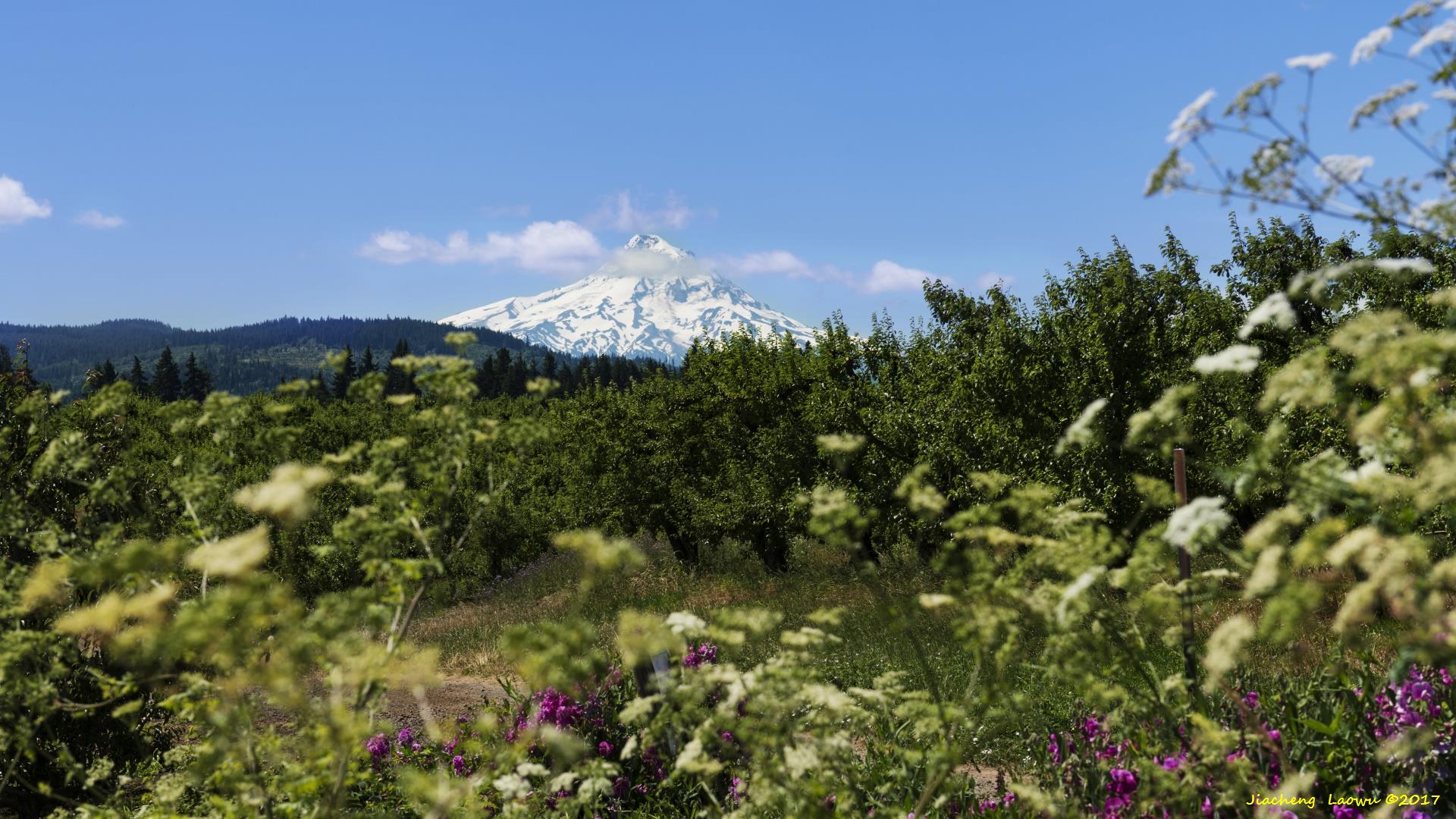
P1 Mt. Hood,the highest peak in Oregon, elevation 3429 m, is a dormant volcano
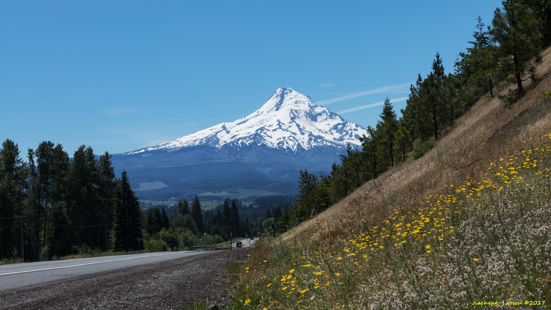
P2 Mt. Hood 2
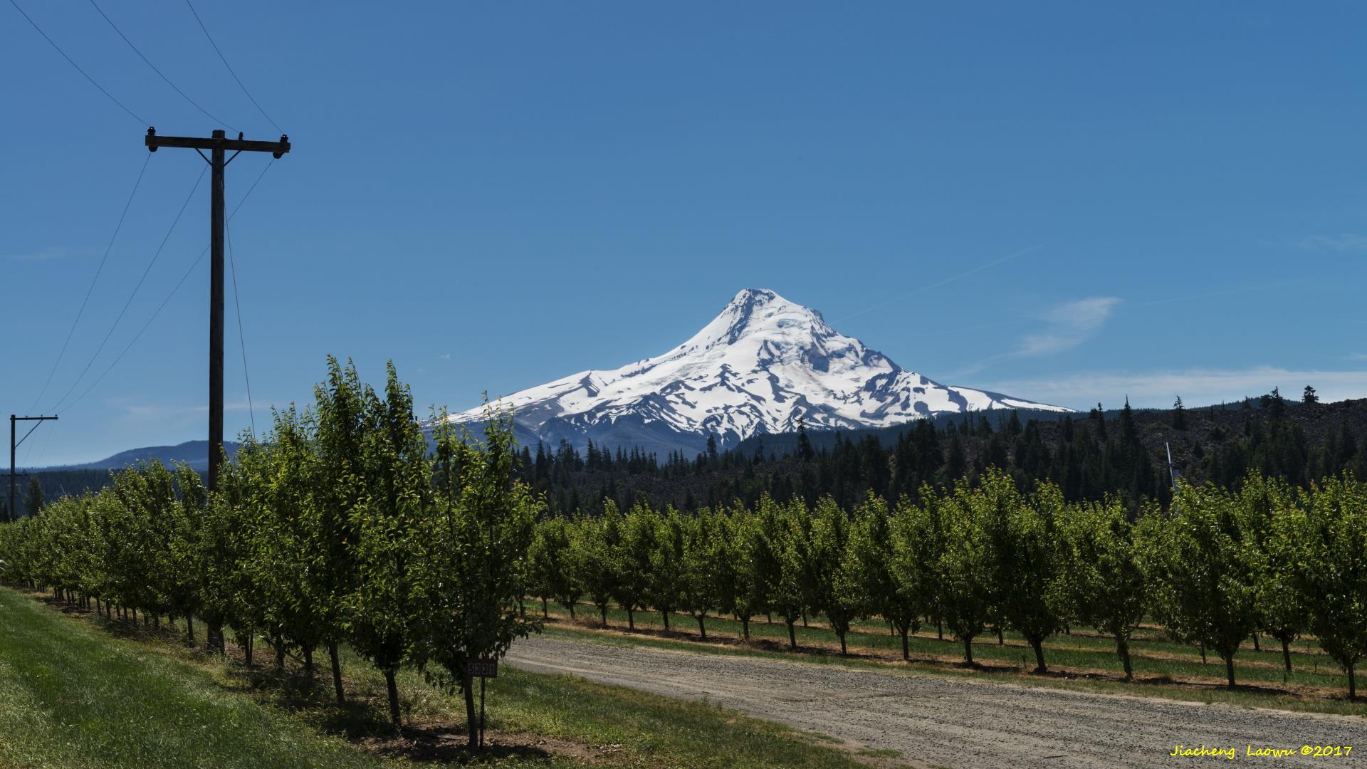
P3 Mt. Hood 3
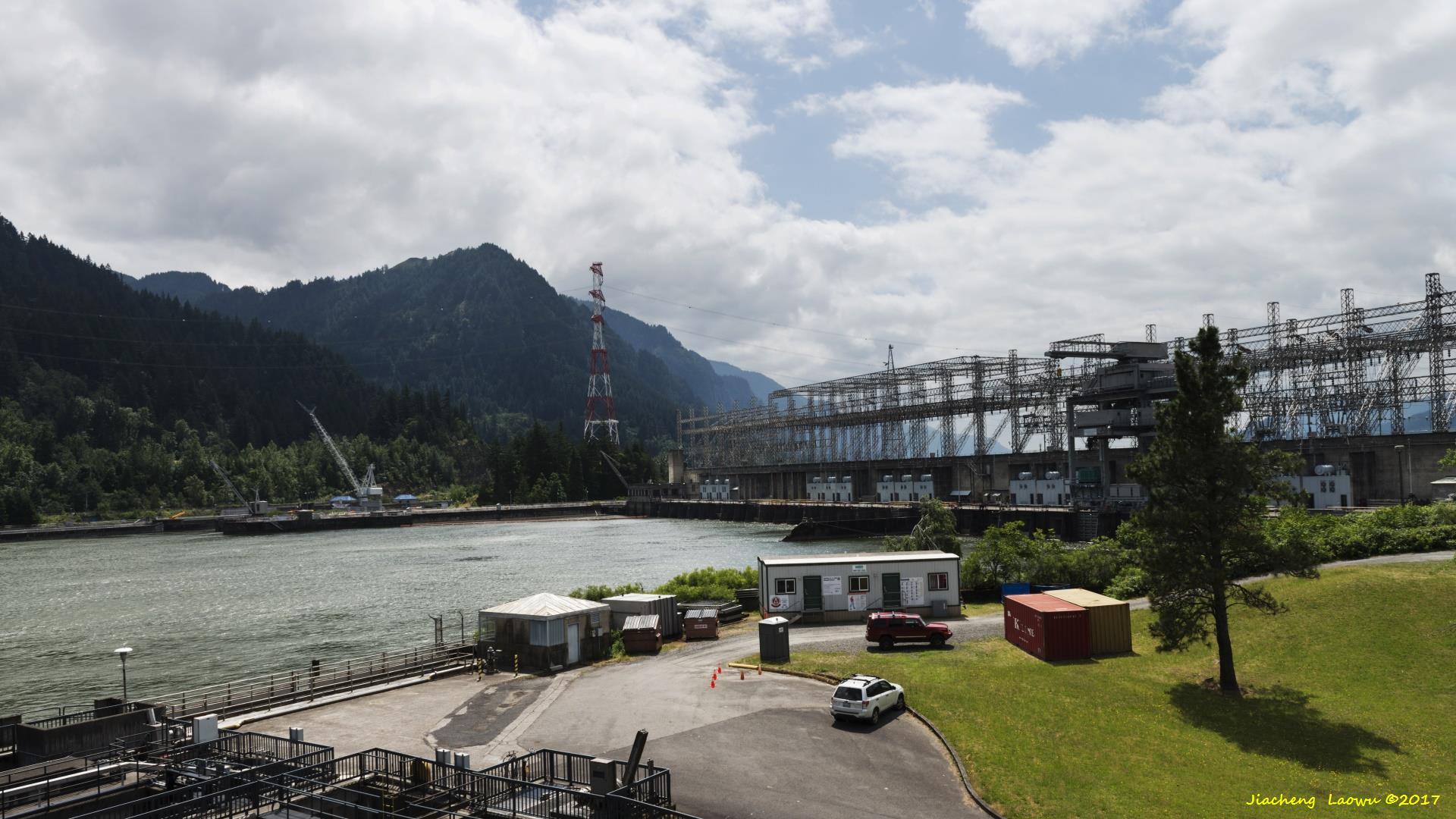
P4 Bonneville Dam, hosts visitor center in both Oregon and Washington side
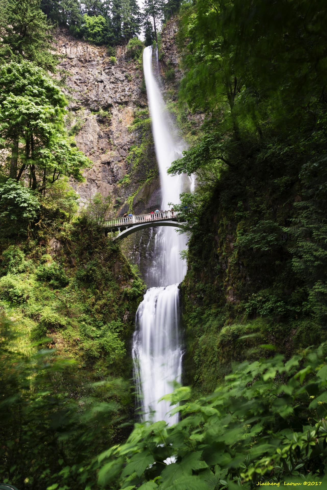
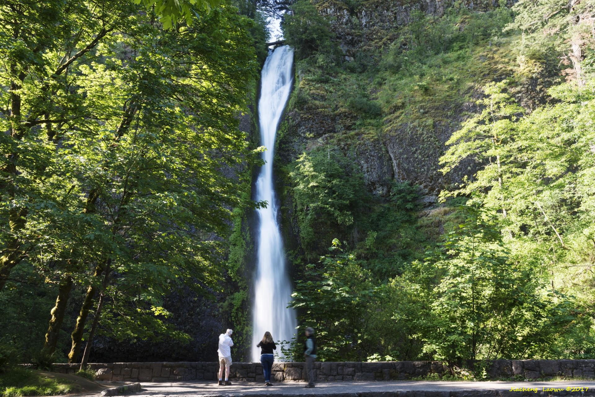
P5 Multnomah Falls, the highest waterfalls of Oregon, with total highth of 189 m
P6 Multnomah Falls 2
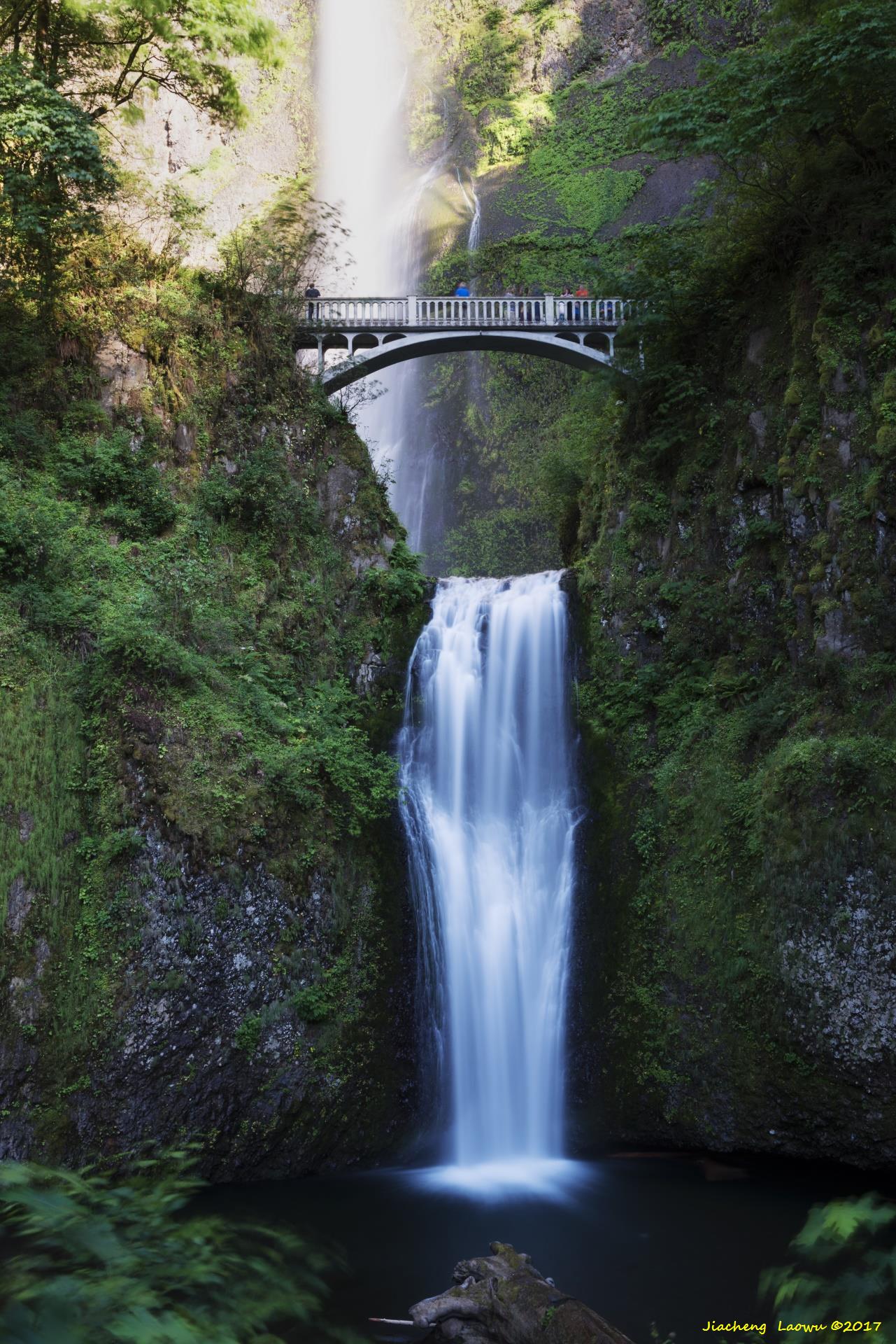
P7 The upper sectio of Multnomah Falls
P8 The lower sectio of Multnomah Falls
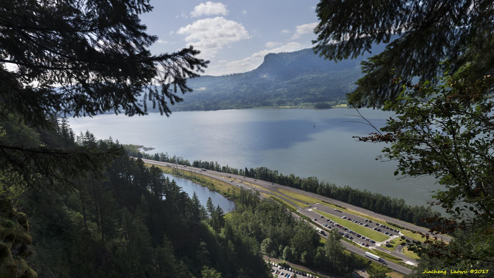
P9 Columbia River Valley viewed from the head of Multnomah Falls
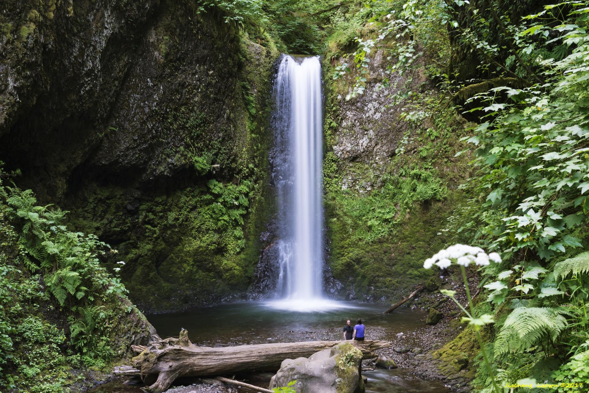
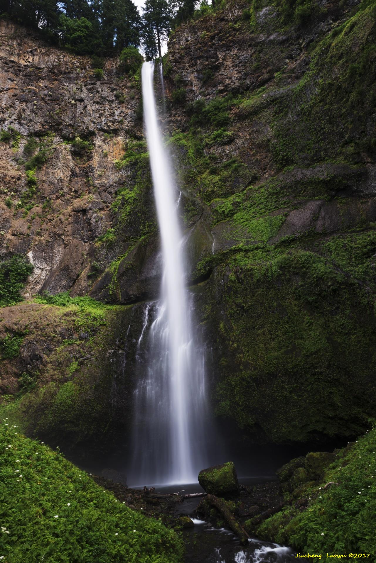
P10 Wiesendanger Falls, over the head of Multnomah Falls
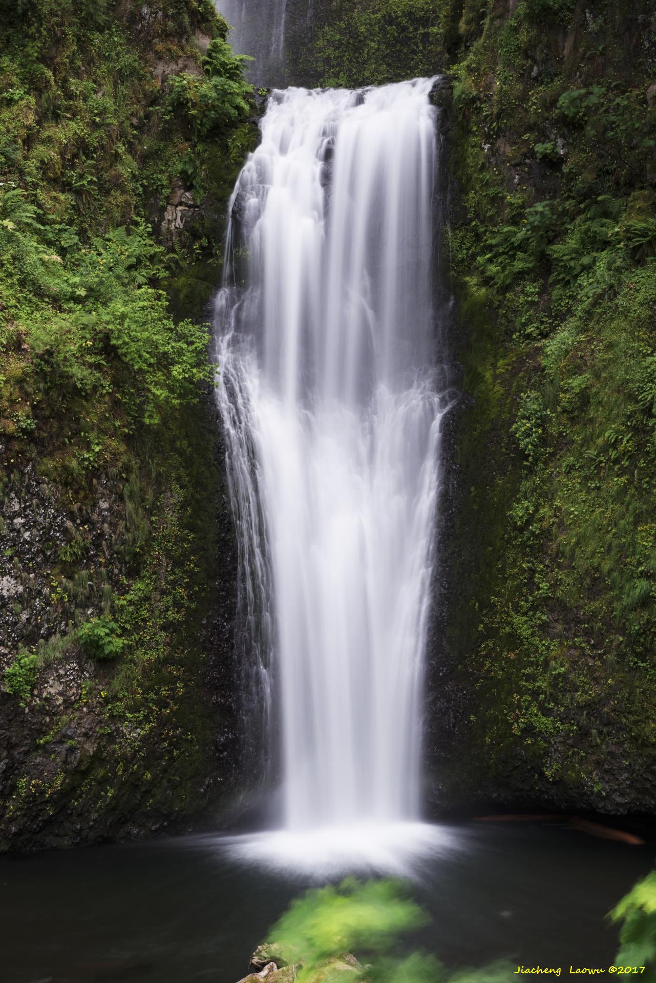
P11 Horsetail Falls
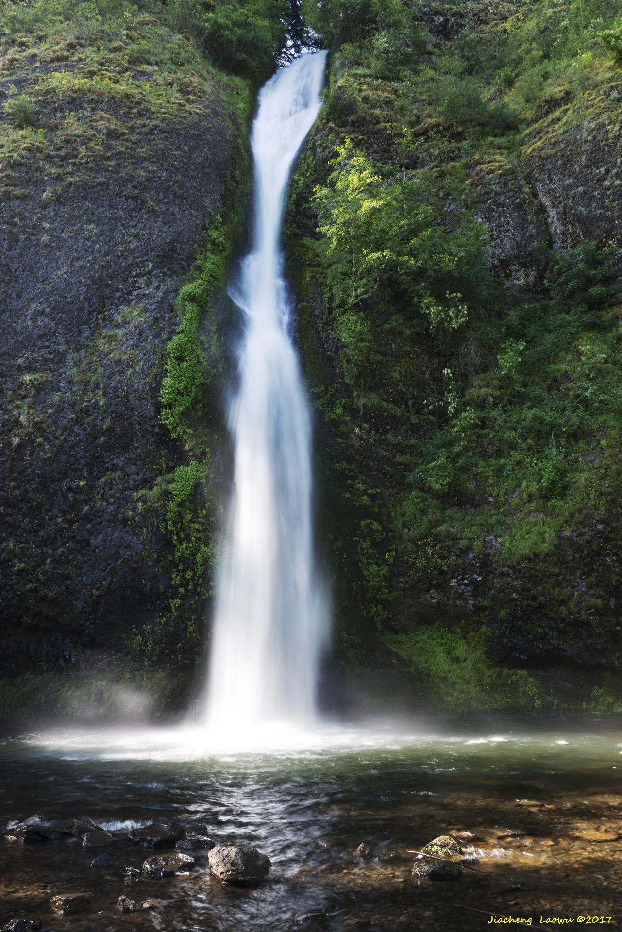
P12 Horsetail Falls 2
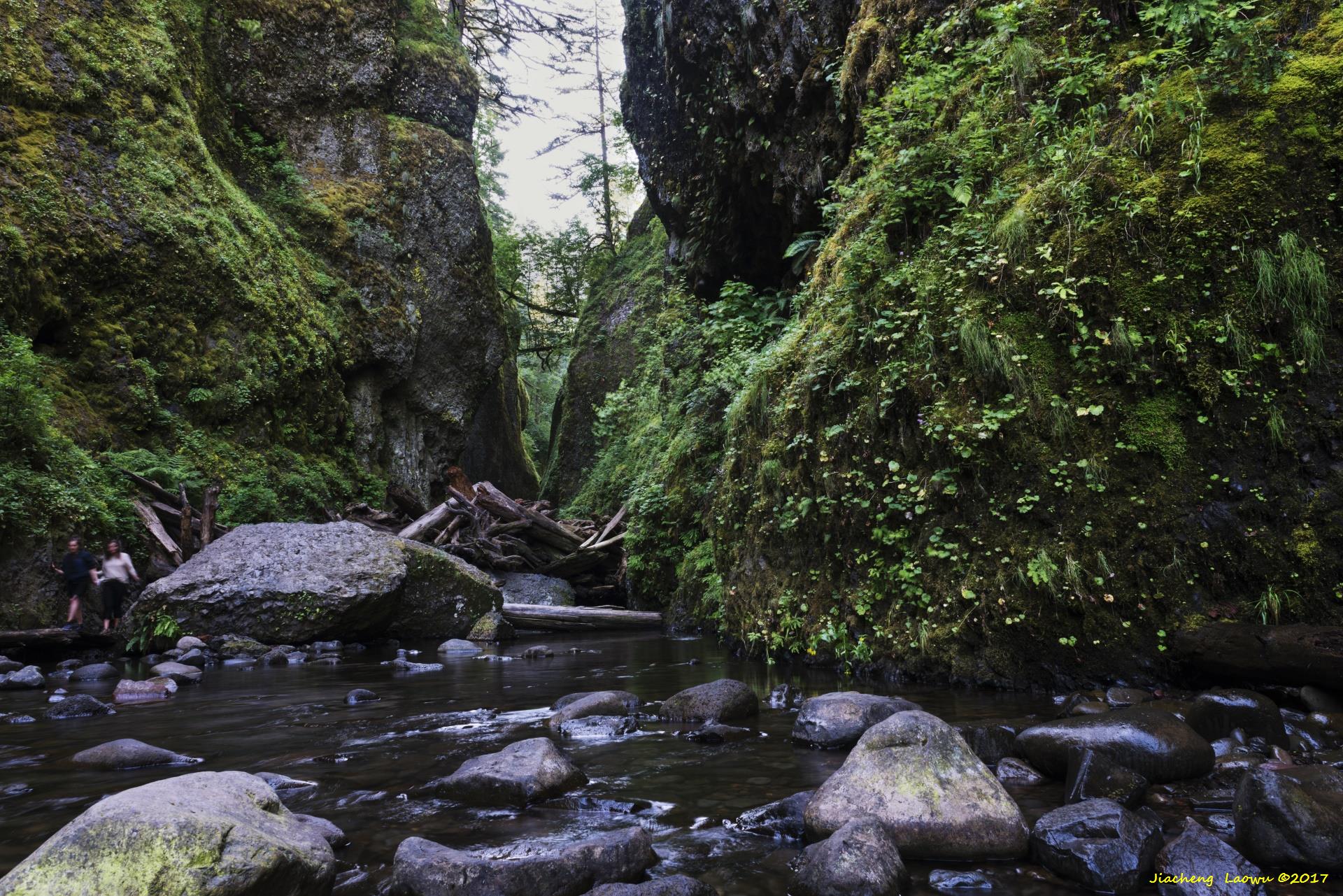
P13 Oneonta Canyon
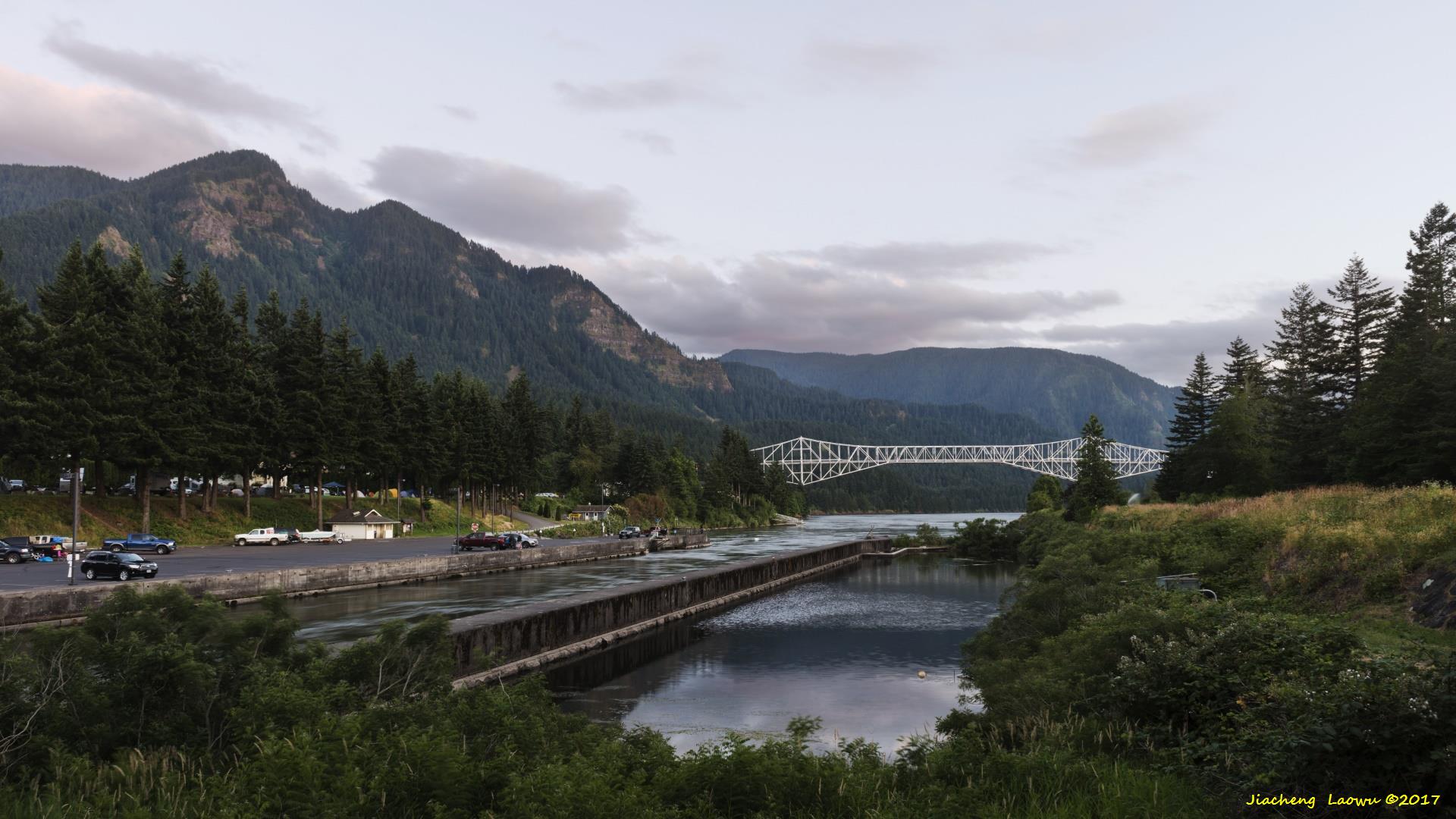
P14 Bridge of the Gods
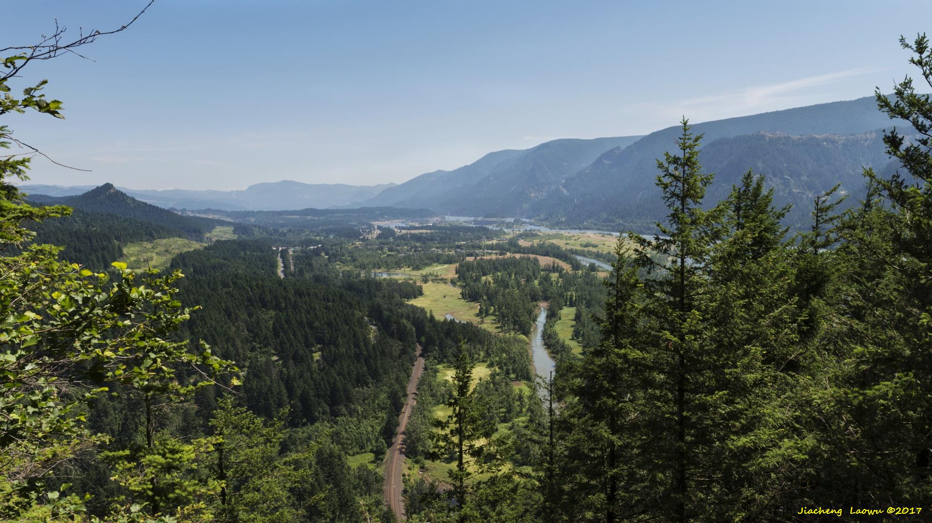
P15 Columbia River Valley
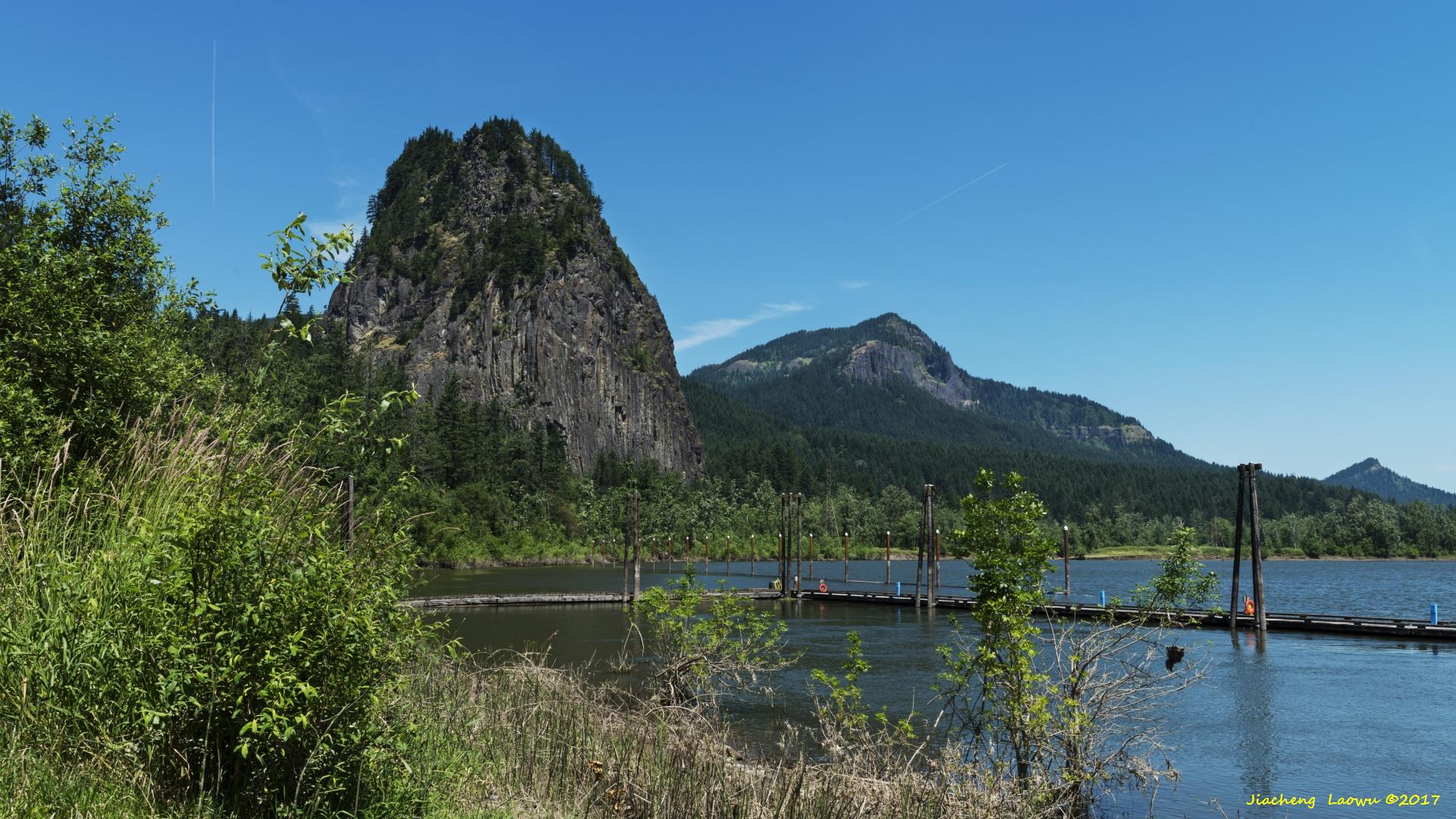
P16 Beacon Rock State Park, Washington
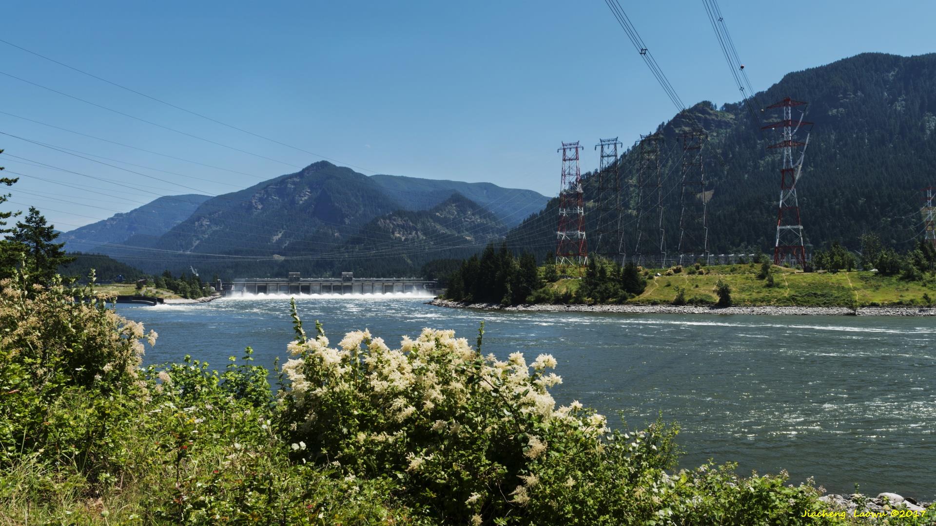
P17 Bonneville Dam in Washington side

US NorthWest 2017 Travel (5) - Bend and Newberry National Volcanic Monument
US NorthWest 2017 Travel (7) - Mount St. Helens National Volcanic Monument